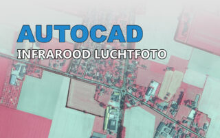
Infrarood luchtfoto maken in QGIS en importeren in AutoCAD CAD, GIS Infrarood luchtfoto maken in QGIS en importeren in AutoCAD PDOK levert al heel lang de Luchtfoto van Nederland. [...] Anton2024-08-17T09:31:10+01:0017-08-2024|Categorieën: CAD, GIS|Tags: AutoCAD, Civil 3D, InfraCAD Map, infrarood, luchtfoto, Map 3D, PDOK, QGIS, raster, Raster Design| Lees meer